Geological Prospect Surveying Expedition
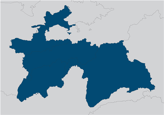
On the basis of geological expedition of methodical and Economic Research in 1980 a geological survey expedition that became known as “Geological Prospect Surveying Expedition” was established. Geologists expeditions in Tajikistan are made of different directions. The scientific achievements of the expedition was developed stratigraphy of Phanerozoic sediments, metamorphism and metasomatism legend, the legend of mapping the territory of Tajikistan for the large-and medium-scale (1:50,000, 1:200,000) mapping, compiled and published (1984) Geological Map of Tajikistan and the surrounding areas; designed legend a geomorphological map and the map of Quaternary deposits southwestern Tajikistan and the Pamir to produce large-scale maps and card inserts on promising areas of alluvial gold. Number of employees of the expedition is 101 people.


